New data from NOAA GOES-16's Space Environment In-Situ Suite (SEISS) instrument
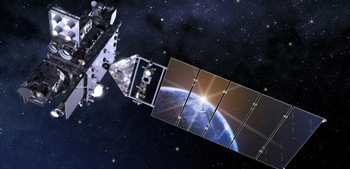
Artist's concept of the GOES-16 aircraft is shown. Credit: NASA
A plot from SEISS data showed how fluxes of charged particles increased over a few minutes around the satellite on January 19, 2017. These particles are often associated with brilliant displays of aurora borealis at northern latitudes and australis at southern latitudes; however, they can pose a radiation hazard to astronauts and other satellites, and threaten radio communications.
Information from SEISS will help NOAA's Space Weather Prediction Center provide early warning of these high flux events, so astronauts, satellite operators and others can take action to protect lives and equipment.
SEISS is composed of five energetic particle sensor units. The SEISS sensors have been collecting data continuously since January 8, 2017, with an amplitude, energy and time resolution that is greater than earlier generations of NOAA's geostationary satellites.
SEISS was built by Assurance Technology Corporation and its subcontractor, the University of New Hampshire.
NASA successfully launched GOES-R at 6:42 p.m. EST on November 19, 2016 from Cape Canaveral Air Force Station in Florida and it was renamed GOES-16 when it achieved orbit. GOES-16 is now observing the planet from an equatorial view approximately 22,300 miles above the surface of the Earth.
NOAA's satellites are the backbone of its life-saving weather forecasts. GOES-16 will build upon and extend the more than 40-year legacy of satellite observations from NOAA that the American public has come to rely upon.
###
For more information about GOES-16, visit: http://www.
To learn more about the GOES-16 SEISS instrument, visit:
Media Contact
All latest news from the category: Earth Sciences
Earth Sciences (also referred to as Geosciences), which deals with basic issues surrounding our planet, plays a vital role in the area of energy and raw materials supply.
Earth Sciences comprises subjects such as geology, geography, geological informatics, paleontology, mineralogy, petrography, crystallography, geophysics, geodesy, glaciology, cartography, photogrammetry, meteorology and seismology, early-warning systems, earthquake research and polar research.


Newest articles

A universal framework for spatial biology
SpatialData is a freely accessible tool to unify and integrate data from different omics technologies accounting for spatial information, which can provide holistic insights into health and disease. Biological processes…

How complex biological processes arise
A $20 million grant from the U.S. National Science Foundation (NSF) will support the establishment and operation of the National Synthesis Center for Emergence in the Molecular and Cellular Sciences (NCEMS) at…

Airborne single-photon lidar system achieves high-resolution 3D imaging
Compact, low-power system opens doors for photon-efficient drone and satellite-based environmental monitoring and mapping. Researchers have developed a compact and lightweight single-photon airborne lidar system that can acquire high-resolution 3D…

