Snow in Hawai'i: What does the future hold?
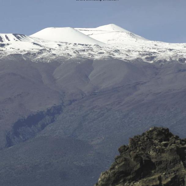
Snow is on Mauna Kea and Mauna Loa, Hawai'i. Credit: Gisela Speidel
A group of climate modelers led by Chunxi Zhang from the International Pacific Research Center (IPRC) at the University of Hawai'i at Manoa used satellite images to quantify recent snow cover distributions patterns.
They developed a regional climate model to simulate the present-day snowfalls and then to project future Hawaiian snowfalls. Their results indicate that the two volcano summits are typically snow-covered at least 20 days each winter, on average, but that the snow cover will nearly disappear by the end of the century.
To evaluate the current situation, Zhang and his colleagues examined surface composition data retrieved from satellite imagery of Hawai'i Island from 2000 to 2015 to construct a daily index of snow cover. They used this data compilation to evaluate the quality of their regional atmospheric climate model, based on global climate projections that included several scenarios of anticipated climate change.
Zhang then ran simulations representative of the end of the 21st century, assuming a moderate business-as-usual scenario for greenhouse gas emissions projections, to establish how long Hawai'i might enjoy its occasional glimpses of white-topped mountains.
“We recognized that Hawaiian snow has an aesthetic and recreational value, as well as a cultural significance, for residents and visitors,” explained Zhang. “So, we decided to examine just what the implications of future climate change would be for future snowfall in Hawai'i.” Unfortunately, the projections suggest that future average winter snowfall will be ten times less than present day amounts, virtually erasing all snow cover.
The findings were not a total surprise, with future projections showing that even with moderate climate warming, air temperatures over the higher altitudes increase even more than at sea level, and that, on average, fewer winter storm systems will impact the state.
However, the group's new method for establishing the current snow cover on these Hawaiian mountains provides another avenue for monitoring the progression of climate change in the region. Ultimately, this study also illustrates the benefits of the recent trend in model downscaling, highlighting the regional and local effects of global climate change.
Media Contact
All latest news from the category: Earth Sciences
Earth Sciences (also referred to as Geosciences), which deals with basic issues surrounding our planet, plays a vital role in the area of energy and raw materials supply.
Earth Sciences comprises subjects such as geology, geography, geological informatics, paleontology, mineralogy, petrography, crystallography, geophysics, geodesy, glaciology, cartography, photogrammetry, meteorology and seismology, early-warning systems, earthquake research and polar research.


Newest articles

A universal framework for spatial biology
SpatialData is a freely accessible tool to unify and integrate data from different omics technologies accounting for spatial information, which can provide holistic insights into health and disease. Biological processes…

How complex biological processes arise
A $20 million grant from the U.S. National Science Foundation (NSF) will support the establishment and operation of the National Synthesis Center for Emergence in the Molecular and Cellular Sciences (NCEMS) at…

Airborne single-photon lidar system achieves high-resolution 3D imaging
Compact, low-power system opens doors for photon-efficient drone and satellite-based environmental monitoring and mapping. Researchers have developed a compact and lightweight single-photon airborne lidar system that can acquire high-resolution 3D…

