Cyclone Nargis and Myanmar floods seen from space
On 4 May, the United Nations Office for the Coordination of Humanitarian Affairs (OCHA) asked the International Charter on 'Space and Major Disasters' for support. The initiative, referred to as ‘The Charter’, was founded in October 2000 by ESA, the French space agency (CNES) and the Canadian Space Agency (CSA). It is aimed at providing satellite data free of charge to those affected by disasters anywhere in the world.
With inundated areas typically visible from space, Earth Observation (EO) is increasingly being used for flood response and mitigation. One of the biggest problems during flooding emergencies is obtaining an overall view of the phenomenon, with a clear idea of the extent of the flooded area.
The series of Envisat radar images highlights the extent of flooding in the Irrawaddy delta caused by the cyclone. Envisat’s Advanced Synthetic Aperture Radar (ASAR) acquired the image on the left on 5 February 2007, and the image on the right on Monday (5 May 2008).
The left image shows the situation approximately one year ago. The black and dark areas in the image on the right indicate areas potentially still flooded two days after the event. ASAR data are especially well suited for delivering information on floods, which are usually accompanied by rain and therefore cloudy conditions. Radar sensors can peer through clouds, rain or local darkness and are especially sensitive to moisture on the ground.
The recent image was delivered in Near Real Time and processed to correlate to the previous image. Both images have a 75 m pixel grid on the ground and show an area approximately 100 km wide.
Media Contact
More Information:
http://www.esa.int/esaEO/SEMV0TZXUFF_environment_0.htmlAll latest news from the category: Earth Sciences
Earth Sciences (also referred to as Geosciences), which deals with basic issues surrounding our planet, plays a vital role in the area of energy and raw materials supply.
Earth Sciences comprises subjects such as geology, geography, geological informatics, paleontology, mineralogy, petrography, crystallography, geophysics, geodesy, glaciology, cartography, photogrammetry, meteorology and seismology, early-warning systems, earthquake research and polar research.


Newest articles

Attosecond core-level spectroscopy reveals real-time molecular dynamics
Chemical reactions are complex mechanisms. Many different dynamical processes are involved, affecting both the electrons and the nucleus of the present atoms. Very often the strongly coupled electron and nuclear…
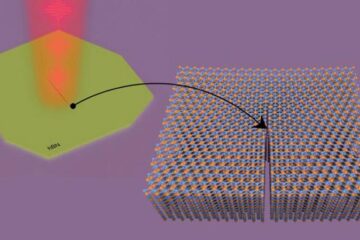
Columbia researchers “unzip” 2D materials with lasers
The new technique can modify the nanostructure of bulk and 2D crystals without a cleanroom or expensive etching equipment. In a new paper published on May 1 in the journal…
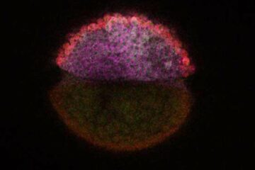
Decoding development: mRNA’s role in embryo formation
A new study at Hebrew University reveals insights into mRNA regulation during embryonic development. The study combines single-cell RNA-Seq and metabolic labeling in zebrafish embryos, distinguishing between newly-transcribed and pre-existing…

