Earth from Space: Splitting iceberg

A huge fissure was spotted running south to north through the berg on 1 March by C-CORE, the Canadian ice-tracking service, while studying satellite images collected from Envisat’s Advanced Synthetic Aperture Radar (ASAR) instrument using the Polar View monitoring programme.
The radar image indicated the berg was unstable and likely to split. Just days afterwards on 4 March, Envisat's Medium Resolution Imaging Spectrometer (MERIS) sensor captured the break. Both bergs are estimated to measure around 30 km in length. As a reference, South Georgia Island is approximately 180-km long.
The break up of A53A, which calved off the Larsen Ice Shelf in late April 2005, occurred in relatively warm waters, making it highly likely that numerous smaller icebergs and ice islands will calve off the two icebergs.
Several different processes can cause an iceberg to form, or ‘calve’, including deterioration from high temperatures or the sun's radiation, action from winds and waves or a collision with another iceberg.
Since 2006, ESA has supported Polar View, a satellite remote-sensing programme funded through the Global Monitoring for Environment and Security (GMES) Service Element (GSE) that focuses on the Arctic and the Antarctic.
GMES responds to Europe’s needs for geo-spatial information services by bringing together the capacity of Europe to collect and manage data and information on the environment and civil security, for the benefit of European citizens.
ASAR is able to produce high-quality images of icebergs and ice sheets and is capable of differentiating between different types of ice because it is able to see through clouds and local darkness – conditions often found in polar areas.
Media Contact
More Information:
http://www.esa.int/esaEO/SEMIZLM5NDF_index_0.htmlAll latest news from the category: Earth Sciences
Earth Sciences (also referred to as Geosciences), which deals with basic issues surrounding our planet, plays a vital role in the area of energy and raw materials supply.
Earth Sciences comprises subjects such as geology, geography, geological informatics, paleontology, mineralogy, petrography, crystallography, geophysics, geodesy, glaciology, cartography, photogrammetry, meteorology and seismology, early-warning systems, earthquake research and polar research.
Newest articles

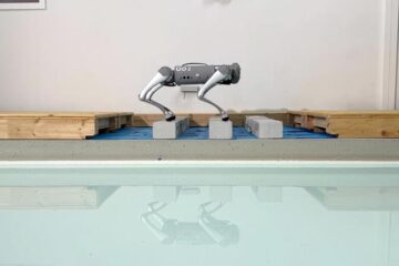
Trotting robots reveal emergence of animal gait transitions
A four-legged robot trained with machine learning by EPFL researchers has learned to avoid falls by spontaneously switching between walking, trotting, and pronking – a milestone for roboticists as well…

Innovation promises to prevent power pole-top fires
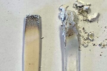
Engineers in Australia have found a new way to make power-pole insulators resistant to fire and electrical sparking, promising to prevent dangerous pole-top fires and reduce blackouts. Pole-top fires pose…

Possible alternative to antibiotics produced by bacteria
Antibacterial substance from staphylococci discovered with new mechanism of action against natural competitors. Many bacteria produce substances to gain an advantage over competitors in their highly competitive natural environment. Researchers…


