Stanford breakthrough provides picture of underground water
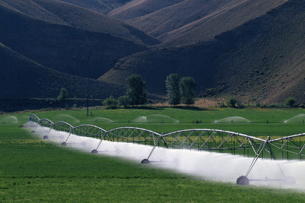
Stanford scientists prove that satellite-collected data can accurately measure underground water, an important source for crop irrigation. (Photo: USDA)
Superman isn't the only one who can see through solid surfaces. In a development that could revolutionize the management of precious groundwater around the world, Stanford researchers have pioneered the use of satellites to accurately measure levels of water stored hundreds of feet below ground. Their findings were published recently in Water Resources Research.
Groundwater provides 25 to 40 percent of all drinking water worldwide, and is the primary source of freshwater in many arid countries, according to the National Groundwater Association. About 60 percent of all withdrawn groundwater goes to crop irrigation. In the United States, the number is closer to 70 percent. In much of the world, however, underground reservoirs or aquifers are poorly managed and rapidly depleted due to a lack of water-level data. Developing useful groundwater models, availability predictions and water budgets is very challenging.
Study co-author Rosemary Knight, a professor of geophysics and senior fellow, by courtesy, at the Stanford Woods Institute for the Environment, compared groundwater use to a mismanaged bank account: “It's like me saying I'm going to retire and live off my savings without knowing how much is in the account.”
Lead author Jessica Reeves, a postdoctoral scholar in geophysics, extended Knight's analogy to the connection among farmers who depend on the same groundwater source. “Imagine your account was connected to someone else's account, and they were withdrawing from it without your knowing.”
Until now, the only way a water manager could gather data about the state of water tables in a watershed was to drill monitoring wells. The process is time and resource intensive, especially for confined aquifers, which are deep reservoirs separated from the ground surface by multiple layers of impermeable clay. Even with monitoring wells, good data is not guaranteed. Much of the data available from monitoring wells across the American West is old and of varying quality and scientific usefulness. Compounding the problem, not all well data is openly shared.
To solve these challenges, Reeves, Knight, Stanford Woods Institute-affiliated geophysics and electrical engineering Professor Howard Zebker, Stanford civil and environmental engineering Professor Peter Kitanidis and Willem Schreüder of Principia Mathematica Inc. looked to the sky.
The basic concept: Satellites that use electromagnetic waves to monitor changes in the elevation of Earth's surface to within a millimeter could be mined for clues about groundwater. The technology, Interferometric Synthetic Aperture Radar (InSAR), had previously been used primarily to collect data on volcanoes, earthquakes and landslides.
With funding from NASA, the researchers used InSAR to make measurements at 15 locations in Colorado's San Luis Valley, an important agricultural region and flyway for migrating birds. Based on observed changes in Earth's surface, the scientists compiled water-level measurements for confined aquifers at three of the sampling locations that matched the data from nearby monitoring wells.
“If we can get this working in between wells, we can measure groundwater levels across vast areas without using lots of on-the-ground monitors,” Reeves said.
The breakthrough holds the potential for giving resource managers in Colorado and elsewhere valuable data as they build models to assess scenarios such as the effect on groundwater from population increases and droughts.
Just as computers and smartphones inevitably get faster, satellite data will only improve. That means more and better data for monitoring and managing groundwater. Eventually, InSAR data could play a vital role in measuring seasonal changes in groundwater supply and help determine levels for sustainable water use.
In the meantime, Knight envisions a Stanford-based, user-friendly online database that consolidates InSAR findings and a range of other current remote sensing data for soil moisture, precipitation and other components of a water budget. “Very few, if any, groundwater managers are tapping into any of the data,” Knight said. With Zebker, postdoctoral fellow Jingyi Chen and colleagues at the University of South Carolina, Knight recently submitted a grant proposal for this concept to NASA.
The Stanford Woods Institute for the Environment is finding practical ways to meet growing demand for freshwater. Learn more about Woods-sponsored freshwater research.
Rosemary Knight, Stanford Woods Institute for the Environment, (650) 736-1487, rknight@stanford.edu
Jesse Reeves, Stanford Stanford Geophysics Department, (650) 897-5401, jesser@stanford.edu
Rob Jordan, Stanford Woods Institute for the Environment, (650) 721-1881, rjordan@stanford.edu
Media Contact
More Information:
http://news.stanford.edu/pr/2014/pr-radar-groundwater-woods-061614.htmlAll latest news from the category: Earth Sciences
Earth Sciences (also referred to as Geosciences), which deals with basic issues surrounding our planet, plays a vital role in the area of energy and raw materials supply.
Earth Sciences comprises subjects such as geology, geography, geological informatics, paleontology, mineralogy, petrography, crystallography, geophysics, geodesy, glaciology, cartography, photogrammetry, meteorology and seismology, early-warning systems, earthquake research and polar research.


Newest articles

A universal framework for spatial biology
SpatialData is a freely accessible tool to unify and integrate data from different omics technologies accounting for spatial information, which can provide holistic insights into health and disease. Biological processes…

How complex biological processes arise
A $20 million grant from the U.S. National Science Foundation (NSF) will support the establishment and operation of the National Synthesis Center for Emergence in the Molecular and Cellular Sciences (NCEMS) at…

Airborne single-photon lidar system achieves high-resolution 3D imaging
Compact, low-power system opens doors for photon-efficient drone and satellite-based environmental monitoring and mapping. Researchers have developed a compact and lightweight single-photon airborne lidar system that can acquire high-resolution 3D…

