European Commission’s satellite analysis supporting international Tsunami information gathering efforts
The immediate response by the European Commission’s Joint Research Centre has consisted of:
* Analysis of regional maps depicting Tsunami flooded zones, affected population and natural resources.
A preliminary estimate of the inundation zone was produced by calculating the area of less than 10m and 20m elevation contour lines within 5km of the coastline for the entire region. This information was cross-checked with global population density data to estimate the likely population affected. Regional land cover maps were used to estimate impact on natural resources.
* Analysis of country maps depicting affected population & infra-structure.
DG JRC acquired information and data through open sources to produce thematic country scale maps depicting affected population, infra-structure and natural resources. Additional geo-political and other relevant information is now being integrated while similar maps for other affected zones will either be created or integrated from other sources.
* Analysis of in-country maps depicting damage analysis/assessments for specific Tsunami affected zones.
Together with various agencies and pictures as close as 1 meter or less to the land, it has been possible to prepare damage analysis/assessments for disaster affected zones.
Follow up action
Work will continue on damage and situation analysis/assessments over the region. A comprehensive Tsunami information system will be maintained by DG JRC to assist EU operations. An assessment of the strengths and weaknesses of European and international mapping and satellite-based efforts to be deployed in such situations will also be made
Media Contact
All latest news from the category: Earth Sciences
Earth Sciences (also referred to as Geosciences), which deals with basic issues surrounding our planet, plays a vital role in the area of energy and raw materials supply.
Earth Sciences comprises subjects such as geology, geography, geological informatics, paleontology, mineralogy, petrography, crystallography, geophysics, geodesy, glaciology, cartography, photogrammetry, meteorology and seismology, early-warning systems, earthquake research and polar research.


Newest articles
Economies take off with new airports
A global study by an SUTD researcher in collaboration with scientists from Japan explores the economic benefits of airport investment in emerging economies using nighttime satellite imagery. Be it for…
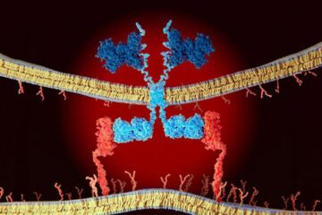
CAR T–cell immunotherapy targets
Pan-cancer analysis uncovers a new class of promising CAR T–cell immunotherapy targets. Scientists at St. Jude Children’s Research Hospital found 156 potential CAR targets across the brain and solid tumors,…
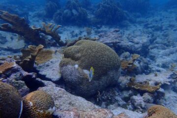
Stony coral tissue loss disease
… is shifting the ecological balance of Caribbean reefs. The outbreak of a deadly disease called stony coral tissue loss disease is destroying susceptible species of coral in the Caribbean…

