A new global marine environmental forecasting system will serve the public soon
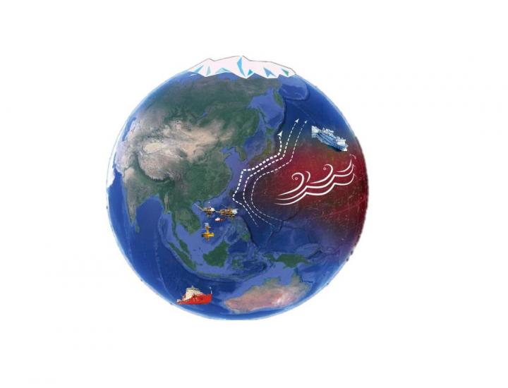
Global High-resolution Marine Dynamic Environmental Forecasting System will guarantee maritime safety. Credit: Li-Ying Wan
Based on publicly accessible data, this project will carry out supplementary observations and experiments; conduct further studies on multi-scale ocean mixing processes; improve the marine physical parameterization scheme; improve the numerical grid, algorithm technology, parallel technology, and coupling technology; and develop a combined global high-resolution ocean circulation model, tidal model, ocean wave model and wave-tide-flow coupling model for operational forecasting.
This project will also develop a pressure-coordinate ocean numerical model, a coupled ocean-atmosphere model, and other new technology from China's own research and development for future operational applications.
These models will be implemented to establish a global high-resolution ocean prediction system, and forecast products will be released, including temperature, salinity, velocity, and ocean wave and tidal currents with a horizontal resolution of 10 km.
The accuracy of these products will reach an advanced international level. The system will clearly identify ocean mesoscale phenomena, with a forecasting validity time of five to seven days.
Thus far, a series of results have been obtained including multi-source ocean observation datasets, the setup of models, vertical mixing parameterization and its mechanism, amongst others.
###
More information about the project can be found in a recently published report in Atmospheric and Oceanic Science Letters.
Media Contact
More Information:
http://dx.doi.org/10.1080/16742834.2018.1501261All latest news from the category: Earth Sciences
Earth Sciences (also referred to as Geosciences), which deals with basic issues surrounding our planet, plays a vital role in the area of energy and raw materials supply.
Earth Sciences comprises subjects such as geology, geography, geological informatics, paleontology, mineralogy, petrography, crystallography, geophysics, geodesy, glaciology, cartography, photogrammetry, meteorology and seismology, early-warning systems, earthquake research and polar research.


Newest articles

Sea slugs inspire highly stretchable biomedical sensor
USC Viterbi School of Engineering researcher Hangbo Zhao presents findings on highly stretchable and customizable microneedles for application in fields including neuroscience, tissue engineering, and wearable bioelectronics. The revolution in…

Twisting and binding matter waves with photons in a cavity
Precisely measuring the energy states of individual atoms has been a historical challenge for physicists due to atomic recoil. When an atom interacts with a photon, the atom “recoils” in…

Nanotubes, nanoparticles, and antibodies detect tiny amounts of fentanyl
New sensor is six orders of magnitude more sensitive than the next best thing. A research team at Pitt led by Alexander Star, a chemistry professor in the Kenneth P. Dietrich…

