Celia now in the Major Leagues: a category three hurricane

Both Geostationary Operational Environmental Satellites, GOES-11 (west) and GOES-13 (east) captured visible images of Hurricane Celia and Tropical Storm Darby in the Eastern Pacific on June 23, and Celia's eye was visible in them.
At 8 a.m. PDT (11 a.m. EDT) on June 24, Hurricane Celia's maximum sustained winds were near 115 mph (185 km/hr) with higher gusts. Hurricane force winds extend outward up to 30 miles (45 km) from the center and tropical storm force winds extend outward up to 115 miles (185 km).
She was located in the open waters of the Eastern Pacific Ocean near latitude 12.5 north and longitude 113.9 west. Minimum central pressure is 962 millibars. Celia is moving toward the west near 13 mph (20 km/hr) and a turn toward the west-northwest is expected over the next couple of days. Some additional strengthening is possible later today, followed by gradual weakening on Friday.
Celia's eye has appeared to be “blinking” over the last couple of days because it has been visible in some satellite imagery, then not visible. This morning, June 24, satellite imagery sees the open eye again.
Although the upper level winds appear favorable to keep Celia going, she's moving into cooler sea surface temperatures near 26-27 Celsius (78-80 Fahrenheit) and cooler as she continues tracking farther into open waters. Tropical cyclones require sea surface temperatures at least near 80 degrees Fahrenheit to maintain their intensity, so Celia will start weakening soon because one of her “power sources” (warm water) will be removed. Those cooler waters will send Celia back into the “minor leagues” by the weekend.
Media Contact
More Information:
http://www.nasa.govAll latest news from the category: Earth Sciences
Earth Sciences (also referred to as Geosciences), which deals with basic issues surrounding our planet, plays a vital role in the area of energy and raw materials supply.
Earth Sciences comprises subjects such as geology, geography, geological informatics, paleontology, mineralogy, petrography, crystallography, geophysics, geodesy, glaciology, cartography, photogrammetry, meteorology and seismology, early-warning systems, earthquake research and polar research.
Newest articles

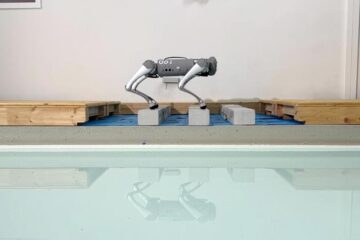
Trotting robots reveal emergence of animal gait transitions
A four-legged robot trained with machine learning by EPFL researchers has learned to avoid falls by spontaneously switching between walking, trotting, and pronking – a milestone for roboticists as well…

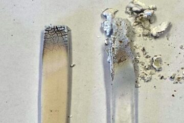
Innovation promises to prevent power pole-top fires
Engineers in Australia have found a new way to make power-pole insulators resistant to fire and electrical sparking, promising to prevent dangerous pole-top fires and reduce blackouts. Pole-top fires pose…

Possible alternative to antibiotics produced by bacteria
Antibacterial substance from staphylococci discovered with new mechanism of action against natural competitors. Many bacteria produce substances to gain an advantage over competitors in their highly competitive natural environment. Researchers…


