Arctic sea ice thinning at record rate
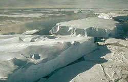
Credits: ESA
Using Envisat radar altimeter data, scientists from the Centre for Polar Observation and Modelling at University College London (UCL) measured sea ice thickness over the Arctic from 2002 to 2008 and found that it had been fairly constant until the record loss of ice in the summer of 2007.
Unusually warm weather conditions were present over the Arctic in 2007, which some scientists have said explain that summer ice loss. However, this summer reached the second-lowest extent ever recorded with cooler weather conditions present.
Dr Katharine Giles of UCL, who led the study, said: “This summer's low ice extent doesn't seem to have been driven by warm weather, so the question is, was last winter's thinning behind it?”
The research, reported in Geophysical Research Letters, showed that last winter the average thickness of sea ice over the whole Arctic fell by 26 cm (10%) compared with the average thickness of the previous five winters, but sea ice in the western Arctic lost around 49 cm of thickness.
Giles said the extent of sea ice in the Arctic is down to a number of factors, including warm temperatures, currents and wind, making it important to know how ice thickness is changing as well as the extent of the ice.
“As the Arctic ice pack is constantly moving, conventional methods can only provide sparse and intermittent measurements of ice thickness from which it is difficult to tell whether the changes are local or across the whole Arctic,” Giles said.
“Satellites provide the only means to determine trends and a consistent and wide area basis. Envisat altimeter data have provided the critical third dimension to the satellite images which have already revealed a dramatic decrease in the area of ice covered in the Arctic.”
The team, including Dr Seymour Laxon and Andy Ridout, was the first to measure ice thickness throughout the Arctic winter, from October to March, over more than half of the Arctic.
“We will continue to use Envisat to monitor the evolution of ice thickness through this winter to see whether this downward trend will continue,” Laxon said. “Next year we will have an even better tool to measure ice thickness in the shape of ESA’s CryoSat-2 mission which will provide higher resolution data and with almost complete coverage to the pole.”
Media Contact
More Information:
http://www.esa.int/esaEO/SEMTGPRTKMF_planet_0.htmlAll latest news from the category: Earth Sciences
Earth Sciences (also referred to as Geosciences), which deals with basic issues surrounding our planet, plays a vital role in the area of energy and raw materials supply.
Earth Sciences comprises subjects such as geology, geography, geological informatics, paleontology, mineralogy, petrography, crystallography, geophysics, geodesy, glaciology, cartography, photogrammetry, meteorology and seismology, early-warning systems, earthquake research and polar research.


Newest articles
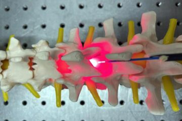
Red light therapy for repairing spinal cord injury passes milestone
Patients with spinal cord injury (SCI) could benefit from a future treatment to repair nerve connections using red and near-infrared light. The method, invented by scientists at the University of…
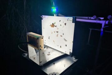
Insect research is revolutionized by technology
New technologies can revolutionise insect research and environmental monitoring. By using DNA, images, sounds and flight patterns analysed by AI, it’s possible to gain new insights into the world of…

X-ray satellite XMM-newton sees ‘space clover’ in a new light
Astronomers have discovered enormous circular radio features of unknown origin around some galaxies. Now, new observations of one dubbed the Cloverleaf suggest it was created by clashing groups of galaxies….

