TreeSatAI – Artificial Intelligence with Earth Observation and Multi-Source Geodata
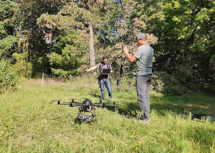
A drone ready to take off for field tests
TU Berlin / FG Geoinformation in der Umweltplanung
The goal of the TreeSatAI project is the development of artificial intelligence methods for the monitoring of forests and tree populations at local, regional and global level. The project is funded by the German Federal Ministry of Education and Research (BMBF). Using freely accessible geodata from different sources (remote sensing data, administrative information, social media, mobile apps, monitoring libraries, open image databases) prototypes for deep learning based extraction and classification of tree and stand features for four different use cases in the fields of forest, nature conservation and infrastructure monitoring are developed.
Remote sensing data from various satellite missions of ESA and NASA, aerial image data as well as geodata on the state of the environment are increasingly available free of charge and in large quantities. At the same time, texts, photos and videos from social media platforms such as Flickr, Twitter or Open Street Map provide access to further information about our environment. However, a manual evaluation of the resulting huge amounts of data would be too time-consuming and labor-intensive.
The Deep Learning Competence Center of DFKI and the research area Smart Data and Knowledge Services have been developing AI procedures for the analysis of aerial and satellite images for some time now, which enable both local evaluation and global analysis. In TreeSatAI, the scientists intend to use CNNs (Convolutional Neural Networks) as well as specialized LSTM models (Long Short-Term Memory) from the field of Deep Learning to enable the automated temporal analysis of forest areas over a large area and thus support environmental and forest experts. One of the major challenges is the acquisition of sufficient, high-quality training data to train the algorithms and the evaluation of the resulting models by experts from the forest and environmental sector. Therefore, the project will use and combine the different competences of the project partners to meet the numerous challenges of this ambitious project.
Partner:
• TU Berlin: Geoinformation in Environmental Planning (Consortium management)
• TU Berlin: Remote Sensing Image Analysis Group
• LiveEO GmbH
• LUP GmbH
• Vision Impulse GmbH
Runtime:
01.06.2020 – 31.05.2022
Funding reference: BMBF 01IS20014D
Press Contact:
Christian Heyer
Head of Corporate Communications DFKI Kaiserslautern
E-Mail: Christian.Heyer@dfki.de
Phone: +49 631 20575 1710
Wissenschaftliche Ansprechpartner:
Dr. Jörn Hees
Smart Data & Knowledge Services
Competence Center Deep Learning
E-Mail: Joern.Hees@dfki.de
Phone: +49 631 20575 1180
Media Contact
All latest news from the category: Information Technology
Here you can find a summary of innovations in the fields of information and data processing and up-to-date developments on IT equipment and hardware.
This area covers topics such as IT services, IT architectures, IT management and telecommunications.


Newest articles

Properties of new materials for microchips
… can now be measured well. Reseachers of Delft University of Technology demonstrated measuring performance properties of ultrathin silicon membranes. Making ever smaller and more powerful chips requires new ultrathin…

Floating solar’s potential
… to support sustainable development by addressing climate, water, and energy goals holistically. A new study published this week in Nature Energy raises the potential for floating solar photovoltaics (FPV)…

Skyrmions move at record speeds
… a step towards the computing of the future. An international research team led by scientists from the CNRS1 has discovered that the magnetic nanobubbles2 known as skyrmions can be…

