Figuring out how fast Greenland is melting
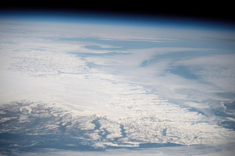
Taken from the International Space Station in 2016, this picture of the southern tip of Greenland shows the island's vast ice sheet fringed by glaciers that flow into the sea. The glaciers and ice sheet of Greenland cover a land area greater than the European countries of Germany, France, Spain and Italy combined. If all Greenland's ice melted, sea levels would rise by about 7 meters (23 feet). Credit: NASA
The ice sheet has been shrinking since 1900 and the yearly loss of ice has doubled since 2003, other researchers have shown. The accelerated melting of the Greenland ice sheet is contributing to sea level rise.
The glaciers and ice sheet of Greenland cover a land area greater than the European countries of Germany, France, Spain and Italy combined. If all Greenland's ice melted, sea levels would rise by about 7 meters (23 feet).
Figuring out how fast the island's ice has melted and will melt in the future requires knowing the past and the present surface air temperatures, according to UA researchers J. E. Jack Reeves Eyre and Xubin Zeng.
“Greenland is particularly important to global climate change because it has the potential to cause a big change in sea level,” lead author Reeves Eyre said. “Knowing how it's going to change over the next century is important.”
Calculating an average yearly surface temperature for the whole of Greenland is difficult. During most of the 20th century, the only weather stations were along the coast. There was no network of weather stations in Greenland's interior until 1995.
Other groups of researchers have used combinations of weather station readings, satellite remote sensing data, statistical analyses and climate models to calculate the island's annual surface temperatures back to 1901. However, the results of those analyses disagree with one another substantially.
How Greenland's massive ice sheet will respond to future warming is not well understood, said Zeng, a UA professor of hydrology and atmospheric sciences.
By combining the best two of the previous analyses, the UA study provides the most accurate estimates of Greenland's 20th century temperatures, said Reeves Eyre, a doctoral student in the UA Department of Hydrology and Atmospheric Sciences.
The finding will help improve climate models so they more accurately project future global climate change and its effects.
“That's why we look at the historical period–it's not about the history. It's about the future,” said Zeng, who holds the Agnese N. Haury Endowed Chair in Environment.
Reeves Eyre and Zeng's research article, “Evaluation of Greenland near surface air temperature datasets,” is published online July 5 in the open-access journal The Cryosphere: http://www.
NASA, the U.S. Department of Energy and the UA Agnese Nelms Haury Program in Environment and Social Justice funded the research.
Knowing Greenland's past temperatures is important for improving climate models, because scientists test regional and global climate models by seeing how well they predict what the climate was in the past.
Previous analyses of the island's past temperatures came up with contradictory results: Some said the 1930s were warmer than present, while other analyses said the opposite.
To find the best estimate of 20th century temperatures, the UA scientists compared 16 different analyses. The UA team compared more datasets covering the period 1901 to 2014 and used more information from weather stations and field expeditions than previous studies.
“We are the first to bring all those datasets together,” Zeng said.
To avoid bias from lumping temperature data from different elevations, Reeves Eyre and Zeng divided the temperature data into three categories: data from coastal regions, data from lower than 1,500 meters (about 4,900 feet) and data from above 1,500 meters.
The coastal regions of Greenland are ice-free year-round, whereas the glaciers and ice sheet at the intermediate elevation melt some in the summer, but refreeze in the winter, Reeves Eyre said. The ice sheet and glaciers at the intermediate elevations are shrinking a bit each year because temperatures are increasing.
Above 1,500 meters, the ice generally does not melt and may even gain mass, he said. However, the bit of ice gained at the highest elevations does not offset the loss of ice at the lower elevations.
The UA study resolves the discrepancies among the other analyses and provides the best estimates of Greenland's past temperatures.
“The combination of the MERRA2 and GISTEMP (analyses) gives the most accurate results over the 20th century,” he said. “Putting them together is more than the sum of the parts. Neither of them individually can do what both of them together can do.”
Although some previous analyses suggest the 1930s were warmer than it is now, the UA analysis shows that current temperatures are warmer than the 1930s. The long-term trend for Greenland's ice sheet appears to be for ever-higher surface temperatures, he said.
“By studying a wide range of available data and combining two of the best data sources, we've come up with a combination that best represents the whole distribution of temperatures over Greenland from 1880 to 2016,” Reeves Eyre said. “Using this dataset is the best way to evaluate climate models and their projection of temperature change over Greenland.”
###
Mari N. Jensen of the University of Arizona's College of Science wrote this release.
Researcher contact info:
J. E. Jack Reeves Eyre
jeyre@email.arizona.edu
Xubin Zeng
xubin@atmo.arizona.edu
additional language: Mandarin
Media contact:
Doug Carroll
520-621-1877
dougcarroll@email.arizona.edu
Media Contact
All latest news from the category: Earth Sciences
Earth Sciences (also referred to as Geosciences), which deals with basic issues surrounding our planet, plays a vital role in the area of energy and raw materials supply.
Earth Sciences comprises subjects such as geology, geography, geological informatics, paleontology, mineralogy, petrography, crystallography, geophysics, geodesy, glaciology, cartography, photogrammetry, meteorology and seismology, early-warning systems, earthquake research and polar research.


Newest articles

Bringing bio-inspired robots to life
Nebraska researcher Eric Markvicka gets NSF CAREER Award to pursue manufacture of novel materials for soft robotics and stretchable electronics. Engineers are increasingly eager to develop robots that mimic the…

Bella moths use poison to attract mates
Scientists are closer to finding out how. Pyrrolizidine alkaloids are as bitter and toxic as they are hard to pronounce. They’re produced by several different types of plants and are…

AI tool creates ‘synthetic’ images of cells
…for enhanced microscopy analysis. Observing individual cells through microscopes can reveal a range of important cell biological phenomena that frequently play a role in human diseases, but the process of…

