A new 3D viewer for improved digital geoscience mapping
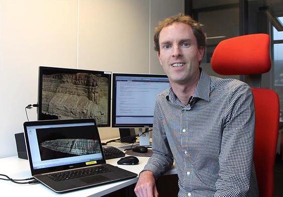
Simon Buckley at Uni Research CIPR in Bergen, Norway. (Photo: Andreas R. Graven)
Now a unique new software for virtual model interpretation and visualization, is to be presented at the 2nd Virtual Geoscience Conference (VGC 2016) in Bergen, Norway.
The conference will take place on the 21-23 of September, and represents a multidisciplinary forum for geoscience researchers, geomatics and related disciplines to share their latest developments and applications.
Simon Buckley and colleagues at Uni Research CIPR are not just hosting the conference in Bergen, but will present their latest contribution to the field:
High performance 3D viewer
A software called LIME, which is a high performance 3D viewer that can be highly useful for geoscientists returning to their office after fieldwork.
The software allows them to explore their 3D datasets and perform measurements, analysis and advanced visualization of different data types. The software is developed by the Virtual Outcrop Geology Group (VOG), a collaboration between Uni Research CIPR in Bergen and the University of Aberdeen, UK.
– The group has been at forefront of digital outcrop geology for over ten years, pioneering many of the developments in data acquisition, processing, and distribution. To facilitate the interpretation, visualisation and communication of 3D photorealistic models, we have developed LIME for over five years, Buckley says.
On the researcher’s own laptop
One of the unique things about LIME is that it can be downloaded and used on the researcher’s own laptop, and can handle very large 3D datasets with high performance.
– It allows the users to integrate 3D models from processing software, and do analysis and interpretation, to put together lots of types of data collected in fieldwork, Buckley explains.
Digital mapping technology for many geoscience applications is based on a combination of 3D mapping methods: laser scanning and photogrammetry – 3D modelling from images – from the ground, from boats, and from helicopters for very large mountainsides.
And more recently: from unmanned aerial vehicles, or drones.
– In addition to this we focus on fusing new imaging techniques for mapping surface properties. An example is hyperspectral imaging, an infrared imaging method that allows thesurface material content of an outcrop, building or drill core to be mapped in detail and remotely. This is what I call phase one of the digital geosciences mapping revolution, which has now become relatively mature, Buckley says.
Integration of multiple techniques
In phase two, collection of data from digital mapping is becoming ubiquitous, but researchers around the world who are new to using this type of data can still struggle with learning curves, making it difficult for the, to analyze their models, Buckley at Uni Research CIPR underscores. This is the basis for LIME:
– Here is our advantage, as we work on the integration of multiple techniques and data types, interpretation software like LIME, databases for storing, accessing and manipulating the data, and mobile devices – viewing and interpretation on tablets, in the field, Buckley says.
The models collected using digital mapping techniques, combined with the LIME software, enables geologists to study exposed outcrops and rock formations which are otherwise very difficult to access.
– Looking at details of the outcrop and dropping in new sorts of data all of a sudden becomes easier, Buckley says. Examples are integration of interpretation panels, geophysical data or a new sedimentary log, which looks at different rock types.
Key features
One of the key features of the high performance 3D viewer, is that you can integrate images and project them on to the 3D models.
– Geoscientists are therefore able to integrate different types of field data, making it a powerful tool, Buckley explains:
– In the end, we can make a very nice visual representation to show the analysis and the project datasets, which is very useful for geoscientists who want to present their results, for example to their collaborating partners and sponsors, to the public, or at conferences, Buckley says.
– Thanks to the technology and application convergence, the adoption of digital mapping techniques is having a major impact in many areas of the geosciences and beyond, Buckley says.
http://uni.no/en/news/2016/9/20/new-3d-viewer-improved-digital-geoscience-mapping/
For further information, please contact:
Simon Buckley
Uni Research
+47 9025 4928
Media Contact
All latest news from the category: Earth Sciences
Earth Sciences (also referred to as Geosciences), which deals with basic issues surrounding our planet, plays a vital role in the area of energy and raw materials supply.
Earth Sciences comprises subjects such as geology, geography, geological informatics, paleontology, mineralogy, petrography, crystallography, geophysics, geodesy, glaciology, cartography, photogrammetry, meteorology and seismology, early-warning systems, earthquake research and polar research.


Newest articles

Superradiant atoms could push the boundaries of how precisely time can be measured
Superradiant atoms can help us measure time more precisely than ever. In a new study, researchers from the University of Copenhagen present a new method for measuring the time interval,…

Ion thermoelectric conversion devices for near room temperature
The electrode sheet of the thermoelectric device consists of ionic hydrogel, which is sandwiched between the electrodes to form, and the Prussian blue on the electrode undergoes a redox reaction…

Zap Energy achieves 37-million-degree temperatures in a compact device
New publication reports record electron temperatures for a small-scale, sheared-flow-stabilized Z-pinch fusion device. In the nine decades since humans first produced fusion reactions, only a few fusion technologies have demonstrated…

