Tsunami observed by radar

“It could be really useful in areas such as south-east Asia where there are huge areas of shallow continental shelf,” said Professor John Largier, an oceanographer at the University of California, Davis, Bodega Marine Laboratory, and an author of a new paper describing the work. The paper appears this month in the journal Remote Sensing.
Largier and his colleagues have been using a high-frequency radar array at the Bodega Marine Lab to study ocean currents for the last 10 years. The Bodega lab is part of a network of coastal radar sites funded by the State of California for oceanographic research.
Largier, together with collaborators from Hokkaido and Kyoto universities in Japan and San Francisco State University, used data from radar sites at Bodega Bay, Trinidad, Calif., and two sites in Hokkaido, Japan, to look for the tsunami offshore.
The scientists found that the radar picks up not the actual tsunami wave — which is small in height while out at sea — but changes in currents as the wave passes.
The researchers found they could see the tsunami once it entered shallower coastal waters over the continental shelf. As the waves enter shallower water, they slow down, increase in height and decrease in wavelength until finally hitting the coast.
The continental shelf off the California coast is quite narrow, and approaches to the coast are already well-monitored by pressure gauges, Largier noted. But he said radar detection could be useful, for example, on the East Coast or in Southeast Asia, where there are wide expanses of shallow seas.
Co-authors of the paper with Largier were: Belinda Lipa and Donald Barrick, Codar Marine Sensors, Mountain View, Calif.; Sei-Ichi Saitoh, Hokkaido University; Yoichi Ishikawa and Toshiyuki Awaji, Kyoto University; and Newell Garfield, San Francisco State.
The work was supported by the National Science Foundation, the California Coastal Conservancy, the Sonoma County Water Agency and the National Oceanographic and Atmospheric Administration.
Media contact(s):
John Largier, Bodega Marine Laboratory, (707) 875-1930, jlargier@ucdavis.edu
Andy Fell, UC Davis News Service, (530) 752-4533, ahfell@ucdavis.edu
Media Contact
More Information:
http://www.ucdavis.eduAll latest news from the category: Earth Sciences
Earth Sciences (also referred to as Geosciences), which deals with basic issues surrounding our planet, plays a vital role in the area of energy and raw materials supply.
Earth Sciences comprises subjects such as geology, geography, geological informatics, paleontology, mineralogy, petrography, crystallography, geophysics, geodesy, glaciology, cartography, photogrammetry, meteorology and seismology, early-warning systems, earthquake research and polar research.
Newest articles

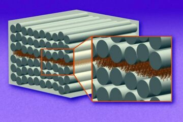
“Nanostitches” enable lighter and tougher composite materials
In research that may lead to next-generation airplanes and spacecraft, MIT engineers used carbon nanotubes to prevent cracking in multilayered composites. To save on fuel and reduce aircraft emissions, engineers…

Trash to treasure
Researchers turn metal waste into catalyst for hydrogen. Scientists have found a way to transform metal waste into a highly efficient catalyst to make hydrogen from water, a discovery that…

Real-time detection of infectious disease viruses
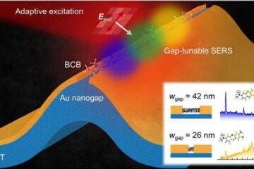
… by searching for molecular fingerprinting. A research team consisting of Professor Kyoung-Duck Park and Taeyoung Moon and Huitae Joo, PhD candidates, from the Department of Physics at Pohang University…


