Is Antarctic sea ice cover really setting record highs?
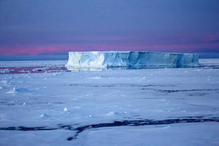
Tabular iceberg surrounded by sea ice in the Antarctic (Credit: Eva Nowatzki, distributed via imaggeo.egu.eu)
Arctic sea ice is retreating at a dramatic rate. In contrast, satellite observations suggest that sea ice cover in the Antarctic is expanding – albeit at a moderate rate – and that sea ice extent has reached record highs in recent years.
What’s causing Southern Hemisphere sea ice cover to increase in a warming world has puzzled scientists since the trend was first spotted. Now, a team of researchers has suggested that much of the measured expansion may be due to an error, not previously documented, in the way satellite data was processed.
“This implies that the Antarctic sea ice trends reported in the IPCC’s AR4 and AR5 [the 2007 and 2013 assessment reports from the Intergovernmental Panel on Climate Change] can’t both be correct: our findings show that the data used in one of the reports contains a significant error. But we have not yet been able to identify which one contains the error,” says lead-author Ian Eisenman of the Scripps Institution of Oceanography at University of California San Diego in the US.
Reflecting the scientific literature at the time, the AR4 reported that Antarctic sea ice cover remained more or less constant between 1979 and 2005. On the other hand, recent literature and the AR5 indicate that, between 1979 and 2012, Southern Hemisphere sea ice extent increased at a rate of about 16.5 thousand square kilometres per year. Scientists assumed the difference to be a result of adding several more years to the observational record.
“But when we looked at how the numbers reported for the trend had changed, and we looked at the time series of Antarctic sea ice extent, it didn’t look right,” says Eisenman, who set out to figure out what was wrong.
Scientists have used satellite data to measure sea ice cover for 35 years. But the data doesn’t come from a single instrument, orbiting on a single satellite throughout this period. Instead, researchers splice together observations from different instruments flown on a number of different satellites. They then use an algorithm – the most prevalent being the Bootstrap algorithm – and further processing to estimate sea ice cover from these data.
In the study published in The Cryosphere, Eisenman and collaborators compare two datasets for sea ice measurements. The most recent one, the source of AR5 conclusions, was generated using a version of Bootstrap updated in 2007, while the other, used in AR4 research, is the result of an older version of the algorithm.
The researchers found a difference between the two datasets related to a transition in satellite sensors in December 1991, and the way the data collected by the two instruments was calibrated. “It appears that one of the records did this calibration incorrectly, introducing a step-like change in December 1991 that was big enough to have a large influence on the long-term trend,” explains Eisenman.
“You’d think it would be easy to see which record has this spurious jump in December 1991, but there’s so much natural variability in the record – so much ‘noise’ from one month to the next – that it’s not readily apparent which record contains the jump. When we subtract one record from the other, though, we remove most of this noise, and the step-like change in December 1991 becomes very clear.”
With the exception of the longer time period covered by the most recent dataset, the two records were thought to be nearly identical. But, by comparing the datasets and calculating Antarctic sea ice extent for each of them, the team found that there was a stark difference between the two records, with the current one giving larger rates of sea ice expansion than the old one in any given period.
If the error is in the current dataset, the results could contribute to an unexpected resolution for the Antarctic sea ice cover enigma.
Please mention the name of the publication (The Cryosphere) if reporting on this story and, if reporting online, include a link to the paper (TBA) or to the journal website (http://www.the-cryosphere.net/).
More information
This research is presented in the paper ‘A spurious jump in the satellite record: has Antarctic sea ice expansion been overestimated?’ to appear in the EGU open access journal The Cryosphere on 22 July 2014.
The scientific article is available online, free of charge, from the publication date onwards, at http://www.the-cryosphere.net/recent_papers.html. A pre-print copy of the paper is available for download at http://www.egu.eu/news/118/is-antarctic-sea-ice-cover-really-setting-record-highs/.
The team is composed of Ian Eisenman (Scripps Institution of Oceanography, University of California at San Diego, USA), Walter Meier (NASA Goddard Space Flight Center, USA) and Joel R. Norris (Scripps).
The European Geosciences Union (www.egu.eu) is Europe’s premier geosciences union, dedicated to the pursuit of excellence in the Earth, planetary, and space sciences for the benefit of humanity, worldwide. It is a non-profit interdisciplinary learned association of scientists founded in 2002. The EGU has a current portfolio of 16 diverse scientific journals, which use an innovative open access format, and organises a number of topical meetings, and education and outreach activities. Its annual General Assembly is the largest and most prominent European geosciences event, attracting over 11,000 scientists from all over the world. The meeting’s sessions cover a wide range of topics, including volcanology, planetary exploration, the Earth’s internal structure and atmosphere, climate, energy, and resources. The 2015 EGU General Assembly is taking place is Vienna, Austria from 12 to 17 April 2015. For information regarding the press centre at the meeting and media registration, please check http://media.egu.eu closer to the time of the conference.
Contacts
Ian Eisenman
Assistant Professor
Scripps Institution of Oceanography
University of California at San Diego, USA
Tel: +1-858-822-5176
Email: eisenman@ucsd.edu
Bárbara Ferreira
EGU Media and Communications Manager
Munich, Germany
Tel: +49-89-2180-6703
Email: media@egu.eu
Media Contact
All latest news from the category: Earth Sciences
Earth Sciences (also referred to as Geosciences), which deals with basic issues surrounding our planet, plays a vital role in the area of energy and raw materials supply.
Earth Sciences comprises subjects such as geology, geography, geological informatics, paleontology, mineralogy, petrography, crystallography, geophysics, geodesy, glaciology, cartography, photogrammetry, meteorology and seismology, early-warning systems, earthquake research and polar research.


Newest articles

Properties of new materials for microchips
… can now be measured well. Reseachers of Delft University of Technology demonstrated measuring performance properties of ultrathin silicon membranes. Making ever smaller and more powerful chips requires new ultrathin…

Floating solar’s potential
… to support sustainable development by addressing climate, water, and energy goals holistically. A new study published this week in Nature Energy raises the potential for floating solar photovoltaics (FPV)…

Skyrmions move at record speeds
… a step towards the computing of the future. An international research team led by scientists from the CNRS1 has discovered that the magnetic nanobubbles2 known as skyrmions can be…

